Your tax bill is connected to a tree you’ve never thought about.
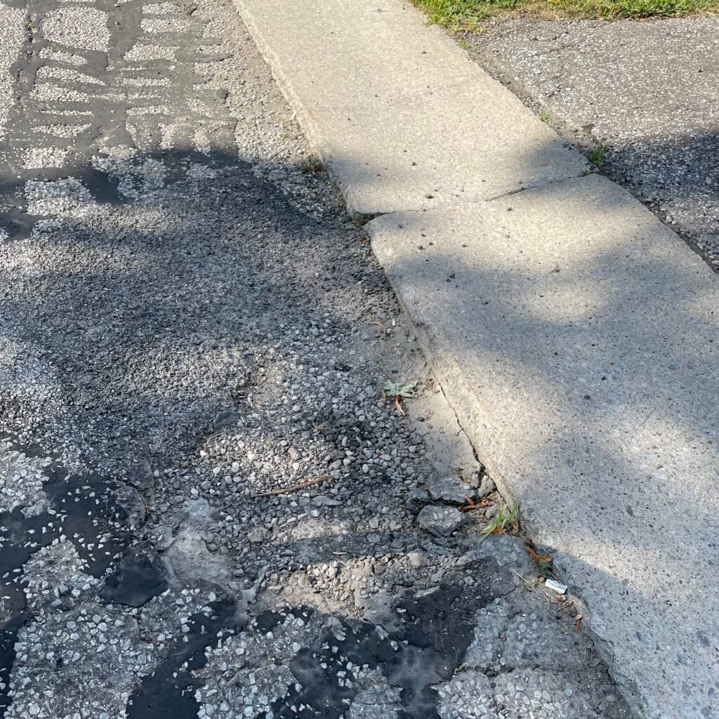
The asphalt out front of your house bakes in direct sun all summer. It cracks earlier, ruts deeper, and gets repaved sooner than asphalt that sits in shade. Your air conditioner runs harder.
When it rains hard, the storm drain at the corner backs up because there’s nothing slowing the water down before it hits the grate.
These costs don’t disappear — they get paid, just not in any line item that says “we cut down too many trees.” They get paid in tax bills, utility bills, and the slow, expensive work of replacing infrastructure that died younger than it should have.
A mature street tree changes that math. It shades pavement and extends its life. It absorbs hundreds of gallons of stormwater per storm. It cools nearby buildings enough to show up in cooling bills. It raises the value of properties around it. None of this is sentiment. It’s just the basic economics of municipal infrastructure.
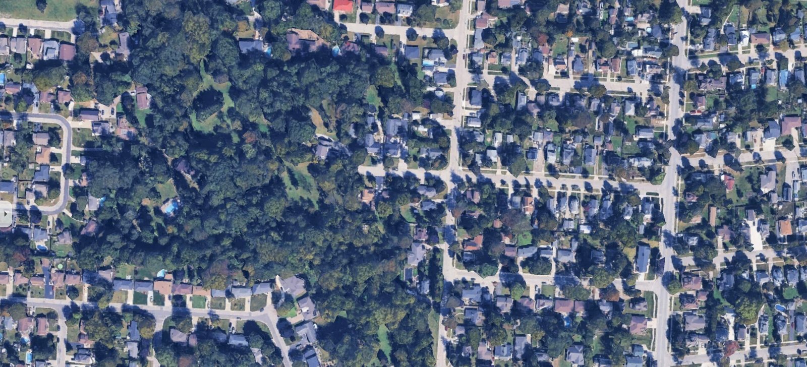
Here’s the problem. You can’t manage what you don’t measure, and Kingsville has no map and no count of its trees.
That’s what we’re changing.
What we’re up against
Essex County has lost more than 90% of its original forest cover. Canopy is now under 8% — among the lowest in Ontario.
The Emerald Ash Borer has already taken a large share of what was left. Development continues to take more, often without formal protection plans. Kingsville has no by-law regulating tree removal on private property. There’s a province-wide shortage of qualified arborists. Most municipalities don’t require tree service contractors to be certified. Urban forest management around here is reactive: a tree falls, a tree gets removed, a tree dies. Decisions get made one stump at a time, with no map of what’s left.
Stay on this course and the bill arrives in predictable ways. More flooding. Hotter summers. Higher cooling costs. Faster-degrading roads. Public health risks tied to heat islands. And the slow erosion of what gave Kingsville’s streets their character.
Why a map
A municipal tree inventory is the single most useful planning tool a town can have.
Windsor has one. Tecumseh’s administration formally recommended one as the starting point for their forestry master plan. And in Chatham-Kent, not only do they map trees, but they calculate the value of the health and financial benefits they produce.
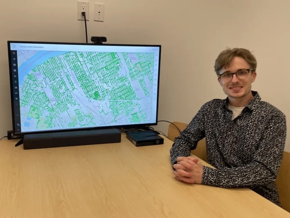
Windsor Essex Strong Towns has already mapped over 6,000 trees in Windsor and is advising us. We’re also working with an ISA Board Certified Master Arborist.
A real inventory tells us things we can act on. Where the canopy gaps are, so planting actually goes where it’s needed. What species mix we have, so we don’t get caught flat-footed by the next Emerald-Ash-Borer-style wipeout. Which mature, healthy trees are worth protecting before development takes them. Where the Town can stop reacting and start planning.
How it works
On May 19th, we’re launching Rooted in Kingsville — a six-week community tree-mapping contest with one clear goal: map as many trees as we possibly can by the end of June.
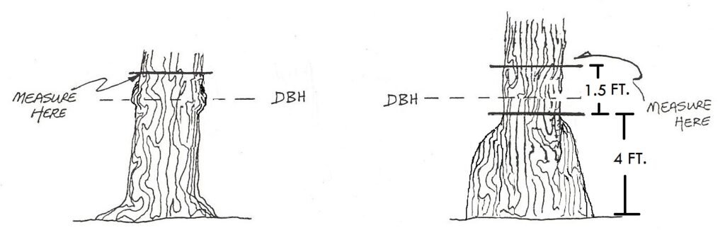
You don’t need to be an arborist. You don’t need to know every species. There are apps to help with identification and we’ll train you before the contest starts. If you can walk a block and use a phone, you can do this. We’ll show you how to measure trunk diameter (it’s not complicated), how to log a tree, how to verify what you’re looking at.
Volunteers will work neighbourhood by neighbourhood, contributing to an open dataset on OpenStreetMap. The data is permanent. It’s public. It belongs to everyone — Town, County, residents — and it can keep growing after the contest ends. There are great prizes from local businesses, friendly neighbourhood-vs-neighbourhood competition, weekly progress updates, and a Tree of the Week feature for the standouts people find along the way.
When the contest wraps in July, we present the results to Kingsville Town Council. A community-built dataset is harder to ignore than a community-written letter.
What this is, really
Strong Towns says: take care of the places you already have before building new ones. That applies to roads, to buildings, and to trees. Replacing a 60-year-old oak takes 60 years. Replacing the cooling, stormwater management, and pavement protection it provided takes money — yours.
Trees are infrastructure. Living infrastructure, free to operate once it’s in the ground. The least we can do is keep track of them.

Want to map some trees with us?
Mapping starts May 19th.
Want to help before launch? We need poster hangers, mapping guides, field guide creators, educators, social media spreaders, photographers, and community recruiters. Get in touch. info@kingsvillestrong.com
Leave a Reply